Welcome to San Angelo Drone, your premier drone service provider in San Angelo, Texas, and surrounding areas.
We provide the following drone services:
- Photo/Video
- Mapping/Modeling/3D
- Construction Monitoring
- Agricultural Mapping & Evaluation

Welcome to San Angelo Drone, your premier drone service provider in San Angelo, Texas, and surrounding areas.
We provide the following drone services:
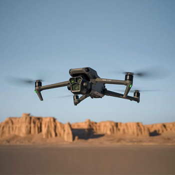
San Angelo Drones prides itself on its commitment to cutting-edge technology. We continuously invest in the latest advancements in drone technology and equipment to guarantee superior aerial imaging and data collection. Utilizing state-of-the-art drones, cameras, and sensors, we are dedicated to capturing visually striking imagery and gathering precise data tailored to meet the unique requirements of your projects.